Mesa Lane – Gateway to Heaven
Posted by Mark Wilkinson on Nov 10, 2010 in Beach Walks, Blog, Santa Barbara | 0 commentsBEACH WALK INFORMATION
Distance-1 mile from the end of Bailard Road to the Chevron Oil Pier
BEACH WALK INFORMATION
Distance-2 miles east to Shoreline Park and Ledbetter's Beach; 1 mile west to Arroyo Burro County Beach.
Topo-Carpinteria
View Photo Gallery
DIRECTIONS
From State Street, follow Highway 101 west for 2.8 miles to the Las Positas off ramp. Turn left and drive slightly more than a mile to Cliff Drive. Turn left again and go .7 miles up onto the Mesa to the first stop light, which is Mesa Lane. Turn right and drive down to the end of it. There is no parking on the right (west) side of the lane but you can make a u-turn at the bottom and park on the east side.
A CAUTION
There are 241 steps down and back up.
THE WALK
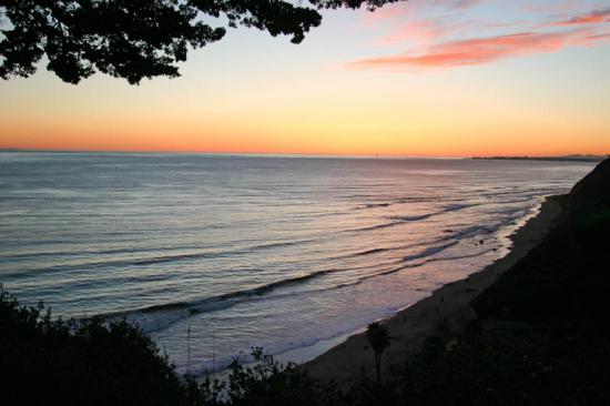
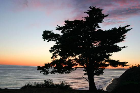
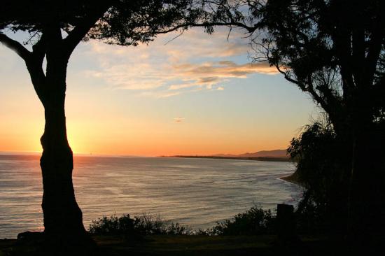
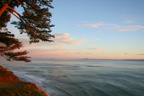
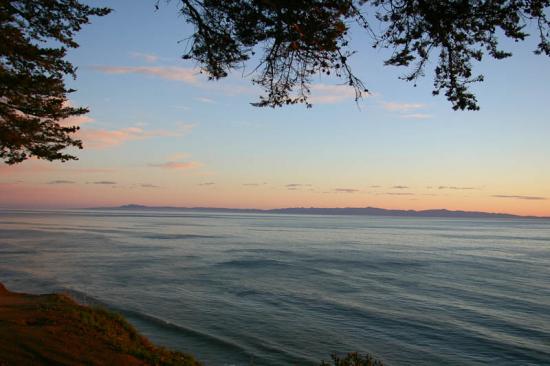
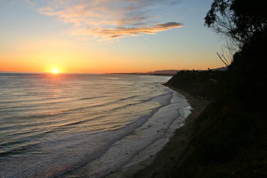
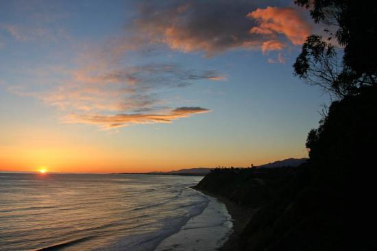
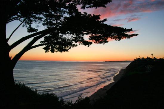
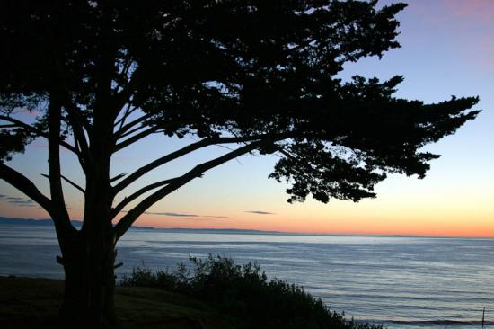
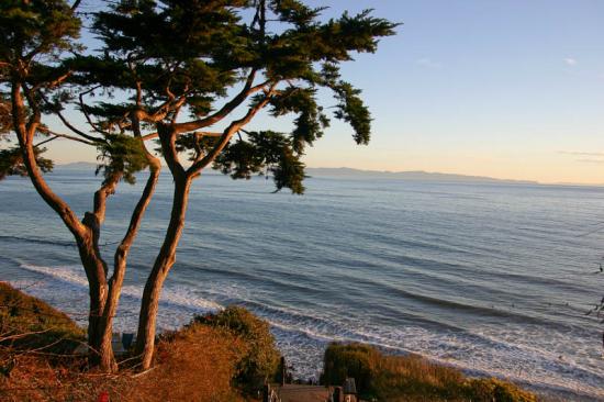
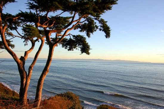
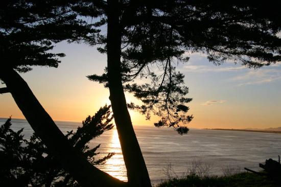
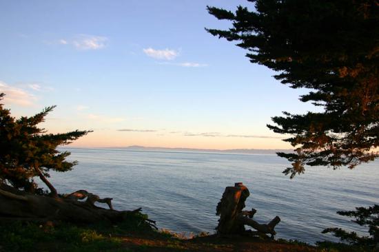
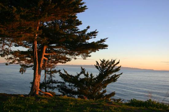
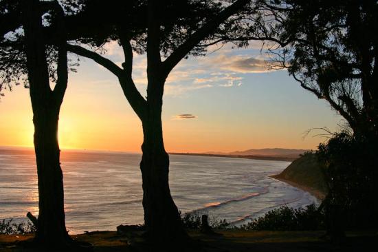
The coastline from Shoreline Park to Arroyo Burro has a feeling of isolation, despite its proximity to the city. Mesa Lane provides access to this stretch of beach. While at higher tides you may not be able to get too far in either direction, at average or low tide levels, you can walk either to the marina or Arroyo Burro.
Mesa Lane is a nice alternative access point to Arroyo Burro on the really warm days when there are huge crowds there. Ninety percent of the people who visit Arroyo Burro rarely venture more than a half mile in either direction, which means if you drop down from Mesa Lane you won't see too many people.
The more secluded walk is to the east, heading in the direction of the Harbor. There are a series of coves and stretches of sandy beach along which you will rarely see more than a handful of people and a t lower tides lots of rocks to explore. Towards Arroyo Burro, the beach is more open though there is one point near the end of the walk you will need to make it around to get all the way to this area.
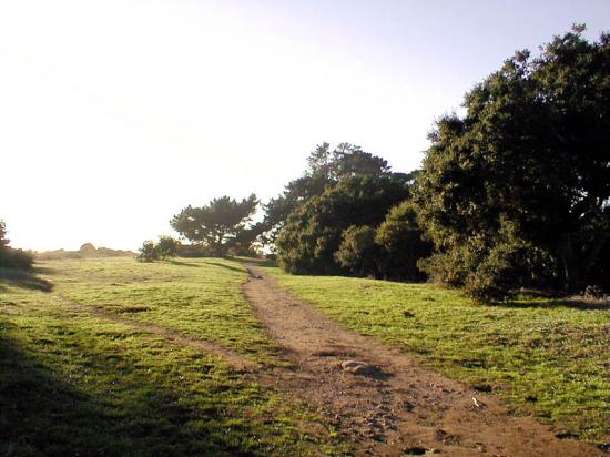
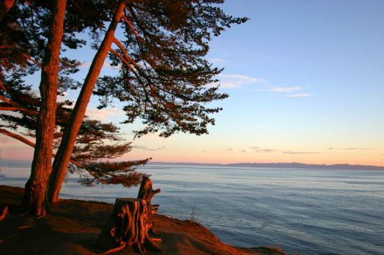
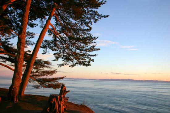
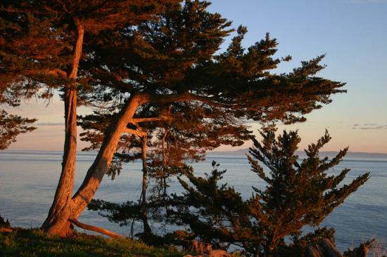
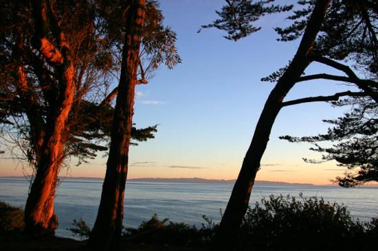
An alternative walk, and an excellent loop, can be made by returning via the Douglas Preserve. To do this, continue through the parking lot and veer right, following the parking area along the edge of the slough. At the Las Positas intersection you will find a path leading up onto the bluff top. There are plenty of small paths leading in and out of the preserve, all of them eventually reaching the edge of the cliff where you will discover great views. Continue east along the cliffs to Mesa Lane.

 1% for the Planet is about coming together, and they believe that forging connections between businesses and nonprofits is a critical aspect of solving the global environmental challenges we face. The nonprofit sector fills a unique and critical role, and the 1% for the Planet model and mission are focused on unleashing the incredible power that is possible when businesses support and engage with these impactful nonprofits.