
Arroyo Hondo Trestles
Posted by Mark Wilkinson on Nov 10, 2010 in Beach Walks, Gaviota | 0 comments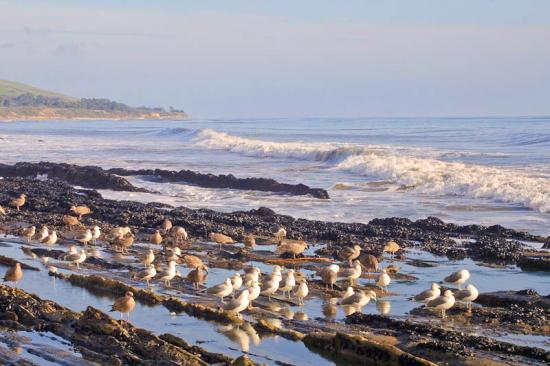

BEACH WALK INFORMATION
Distance-2.5 miles east to Tajiguas Beach; 3 miles west to San Onofre Beach
Topo- Gaviota
DIRECTIONS
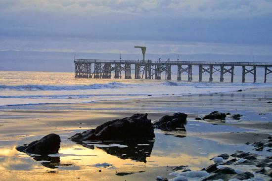
The Vista Point and old freeway trestles at Arroyo Hondo Canyon are 4.3 miles past Refugio. Look for the Mariposa Reina off ramp. Turn around and go back a bit under a mile towards Refugio to the well marked turnoff for the "Vista Point."
A CAUTION
You will need to continue north on Highway 101 to the Mariposa Reina turnoff, cross over the freeway and then head back. The stairway down to the beach from the vista point is steep.
THE WALK
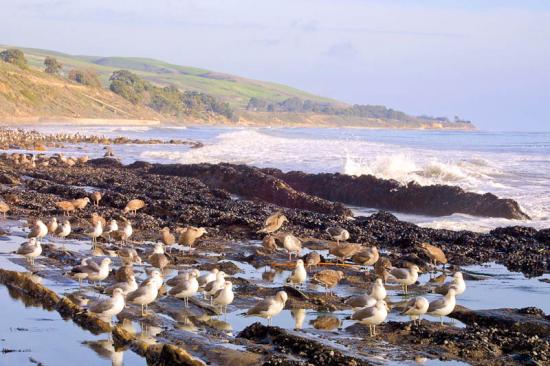
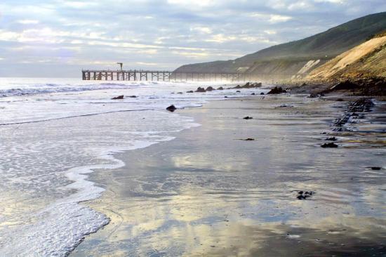
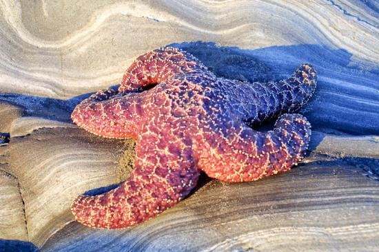
The trestles at the mouth of Arroyo Hondo Canyon are very picturesque, as is the beach below. To the west you'll find a series of points leading eventually to San Onofre Beach, three miles away, a wonderful walk when the tide is low. This is a very remote and quiet place to enjoy the Santa Barbara coastline.
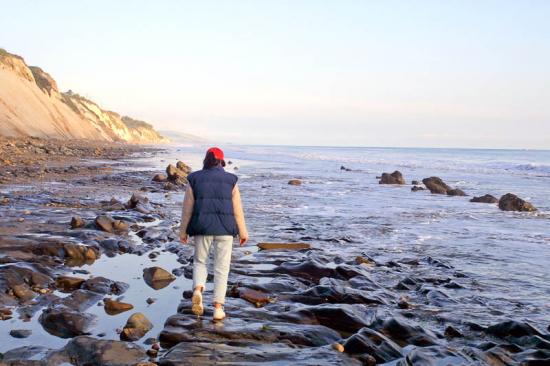
This is absolutely (have I said this already?) my favorite out-and-back walk on the Santa Barbara coast. It starts with a tricky bit of down climbing to reach the beach, which is a hundred feet below the parking area. Walk down to the old Highway 101 bridge, turn left and drop by the side the railroad trestle. There are a series of steps cut into the concrete ramp but they are pretty steep and the dirt path below them is slippery. With a bit of care you will make it just fine.
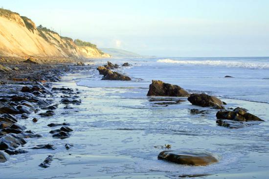
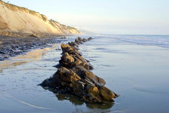
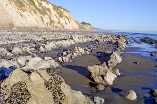
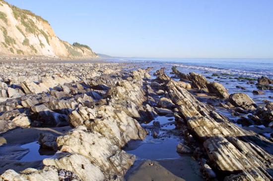
There is a huge pile of boulders at the mouth of the creek and often scattered piles of driftwood to meander through to reach the sand. Turning to the left--or east--will lead you in the direction of Tajiguas, a beautiful hike in itself, but the real treat is the western coastline. Along this stretch the shales are turned almost vertical and you will find yourself walking right on top of the edges, which are rounded enough that it isn't too difficult to do.
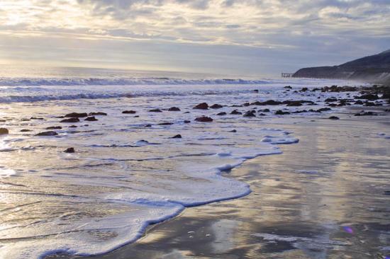
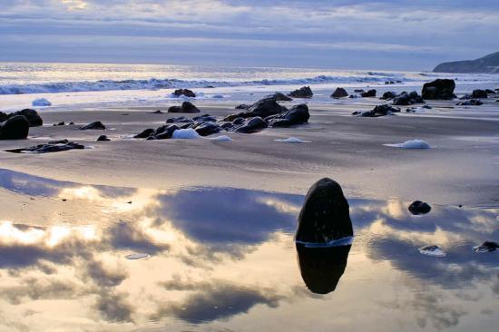
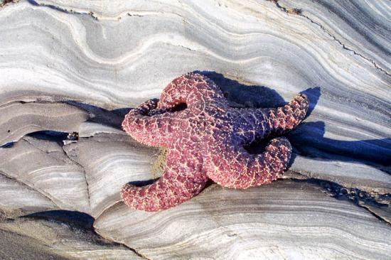
For the next three miles there are a series of rocky ledges similar to this, small coves, and geological formations which create a sort of ocean wonderland. There are plenty of points, too, often with a fisherman perched on top of the rocks on them and loads of solitude.
There is one long beach walk I try to do every year, either from Arroyo Hondo to Gaviota or the other way around, depending on when the lowest tides are. If they are early in the morning I head west; if in the afternoon I start from Gaviota. It is always nice to have the sun at your back for as much of the time as possible. This walk requires a shuttle, but I think you will find this six miles of beach to be Santa Barbara's finest.
 1% for the Planet is about coming together, and they believe that forging connections between businesses and nonprofits is a critical aspect of solving the global environmental challenges we face. The nonprofit sector fills a unique and critical role, and the 1% for the Planet model and mission are focused on unleashing the incredible power that is possible when businesses support and engage with these impactful nonprofits.