
Coldspring Trail – West Fork
Posted by Mark Wilkinson on Nov 9, 2010 in Day Hikes, Front Country | 0 comments

TRAIL INFORMATION
Distance-1 mile to Middle Fork intersection; 2 miles to Gibraltar Road.
Elevation Gain-450' to Middle Fork intersection; 1175' to Gibraltar Road.
Difficulty-Moderately strenuous
Topo-Santa Barbara
HIGHLIGHTS
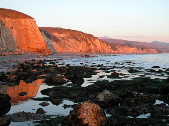
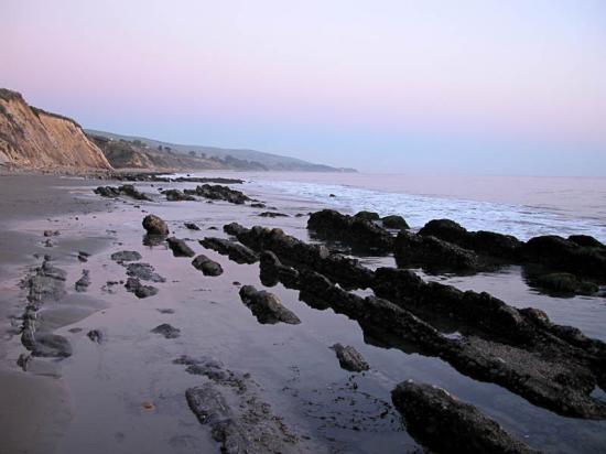
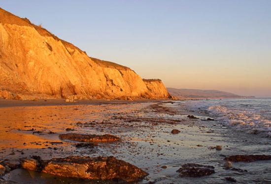
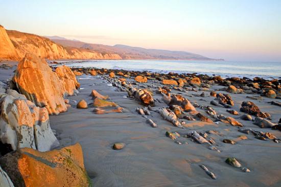
Though not a long nor well-known trail, it leads up a very pretty canyon to Gibraltar Road. A side trip along the way leads to Tangerine Falls and the upper end of the Middle Fork canyon. For those of you familiar with the old switchbacks above the turnoff to Tangerine Falls, these were wiped out by floods in 2005. The trail has been recut down into the canyon and around the slide area. As a result it now passes by the historic water tunnel that was bored into the mountainside in 1905.
DIRECTIONS
The trail is reached from Hot Springs Road in Montecito. From Santa Barbara, take the Hot Springs exit (you'll need to be in the fast lane) and follow it about 0.75 miles until you reach the Highway 192 intersection. Turn left on Highway 192 and follow this for one mile to Cold Spring Road. Turn right and continue up past Westmont College to Mountain Drive. Turn right and go a half mile east to the trailhead. Park near the point where the creek crosses the road.
RECENT WORK
Over the past year and a half, the West Fork Trail has received a lot of attention. In winter 2005 the trail was devastated by several major storms that caused a number of massive slides. One above the turnoff to Tangerine Falls completely destroyed the trail. Thanks to efforts by MTF (Montecito Trails Foundation) immediately after the storms and over the last year by the Los Padres Forest Association trail crew, the trail has been completely rebuilt. Though there is still more work to be done to fine tune the trail, it is now much safer for all users.
THE HIKE
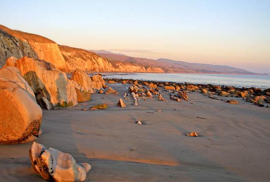
Unlike most of the trails, which run in a north-south direction, the West Fork follows an east-west course. The reason for this can be found in the geology of this particular area. Matilija Sandstone lies on the north side of the trail; Coldwater Sandstone is on the south side. Sandwiched in between is a layer known as Cozy Dell Shale. High along the crest the shale forms impressive saddles. As it dips across the ocean side of the Santa Ynez Mountains, it forms what are known as strike canyons, which flow at right angles to the main canyons. The West Fork Trail winds its way up the largest of these strike canyons.
To reach the West Fork trail, hike up the East Fork trail a quarter mile to a very pretty waterfall with a nearby bench. Cross the creek and look for the trail behind a series of large boulders. The trail climbs slowly, undulating up the left side of the narrow canyon. In the afternoon this section is shade covered, making the hike pleasant on hot summer days.
The path wanders through dense green canyon vegetation for three quarters of a mile before opening into the valley. Slightly to right of center is a magnificent 200-foot high waterfall. This is Tangerine Falls. The side trail leading up to it is not too far beyond the viewpoint.
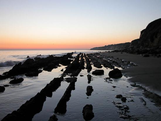
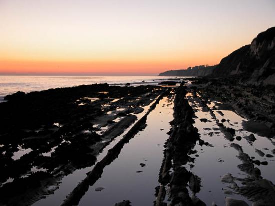
Just past the turnoff for Tangerine Falls, the main West Fork trail climbs a bit then crosses to the right side of the canyon. There is often quite a bit of poison oak in this area so I carry a pair of clippers just in case I need to trim some of it back. A hundred yards above here the trail crosses the creekbed and begins a series of switchbacks which take you directly uphill for several hundred feet until you are no longer in the canyon but high up on the hillside.
Once you are at the end of the switchbacks, the trail climbs steeply for several hundred yards up through a very pretty tunnel of hillside chaparral and crosses two small wooden bridges which are very cute (you'll know what I mean if you've seen them). At this point the trail opens out into the full sunlight and on a hot day it can be very tough hiking up to the road.
Just beyond the second bridge the trail turns north and climbs across a small knoll. The views back down the canyon are very pretty and in the "vee" formed by the lower hillsides you can see the Carpinteria Valley. Above, the views are equally nice. Near the top of the ridge you'll notice a large rock formation. This is Cold Springs Dome, a popular rock climbing area.
As you round the knoll the trail turns back to the left, levels a bit, and then continues straight up to Gibraltar Road. You'll know you are nearing the end of the trail by the hundreds of small pieces of glass that begin to appear on the ground. The steep hillside near the hairpin turn has been used in past years for target practice. Thanks to the efforts of the Sierra Club and other trail users, the Forest Service has closed this and other areas to casual "plinking," making it a much safer area for hiking.
If you would like to reach Rattlesnake Canyon you can do so by walking up the road for a mile to the connector trail leading down into Rattlesnake.
 1% for the Planet is about coming together, and they believe that forging connections between businesses and nonprofits is a critical aspect of solving the global environmental challenges we face. The nonprofit sector fills a unique and critical role, and the 1% for the Planet model and mission are focused on unleashing the incredible power that is possible when businesses support and engage with these impactful nonprofits.