
Loon Point
Posted by Mark Wilkinson on Nov 10, 2010 in Beach Walks, Summerland | 1 comment

BEACH WALK INFORMATION
Distance-2.5 miles east to Santa Claus Village; 1 mile from Loon Point west to Lookout Park
Topo-Carpinteria
DIRECTIONS
From State Street, follow Highway 101 east for 6.5 miles to the Padaro Lane off ramp. Turn right on Padaro. The Loon Point parking area is on the left side of Padaro Lane, .2 miles from the freeway.
A CAUTION
Please be respectful of private property rights.
THE WALK
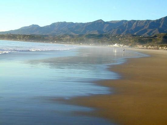
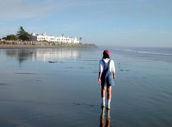
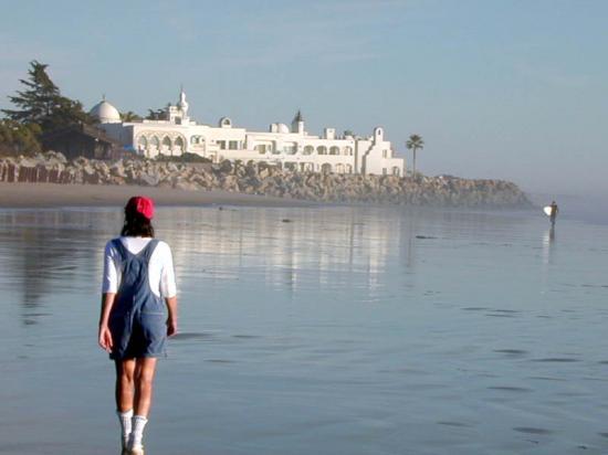
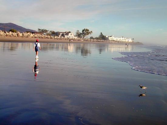
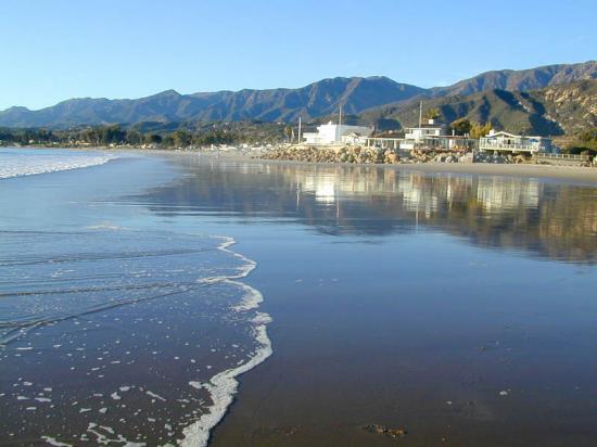
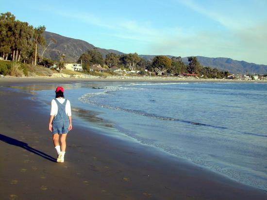
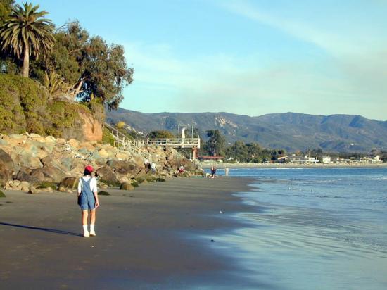
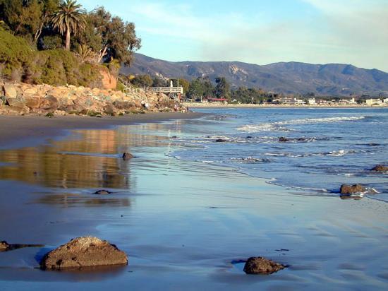
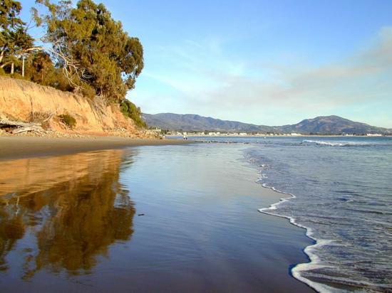
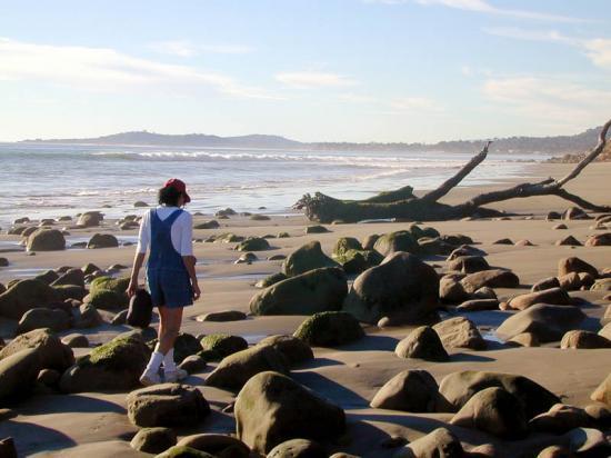
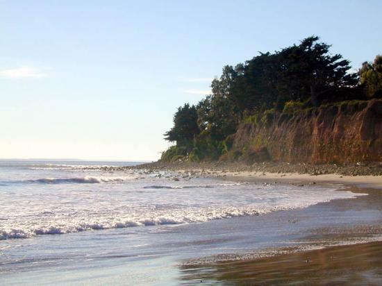
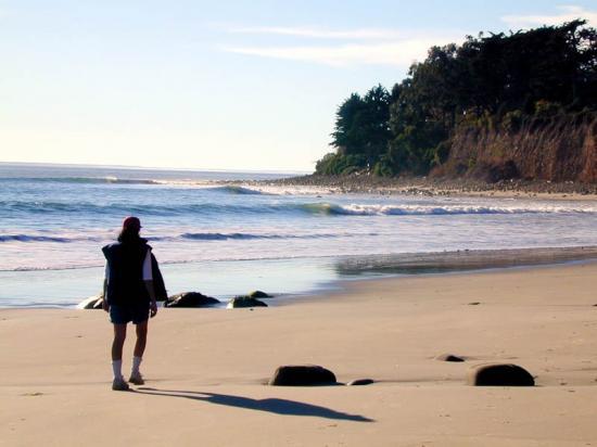
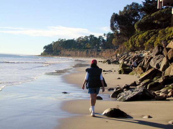
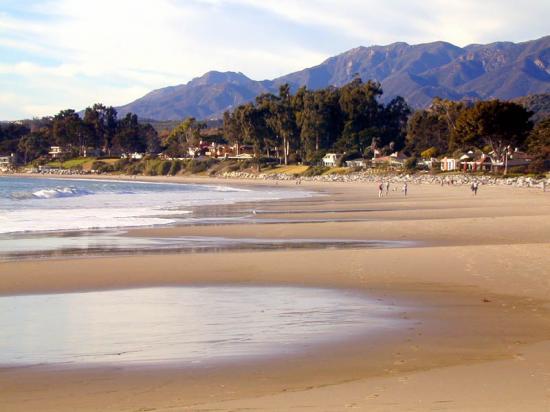
The cliffs near the parking area for the Loon Point beach walk soar upward like a bird in flight. Below them is an isolated stretch of beach leading to Lookout Park, as well as a delightful stroll around Loon Point, if the tide permits, all the way to Santa Claus Village.
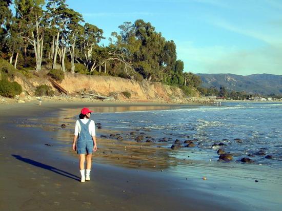
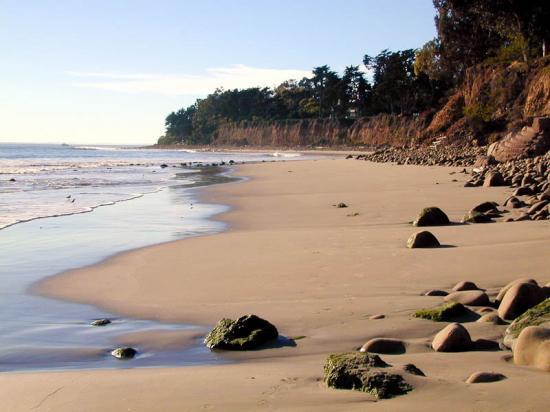
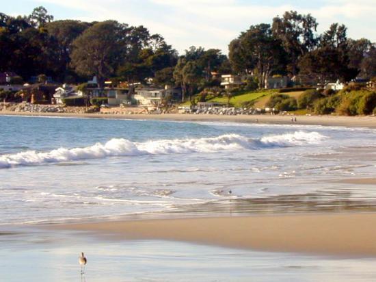
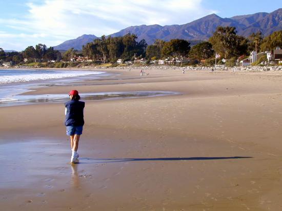
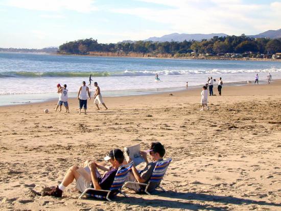
The walk down from the parking area leads along the railroad tracks then under the freeway off ramp and down a short path to the beach. There is a more remote feeling in this route than most of the beach access areas. Once you are down on the beach you have the choice of heading in either direction. A mile to the west is Lookout Park. In-between is a long, straight section of sand which can be walked at even the highest tides. There are plenty of spaces to stake out a picnic area and lots of sand for the kids to play in.
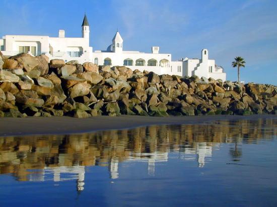
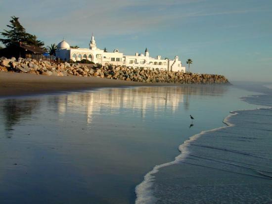
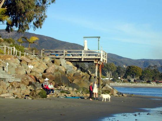
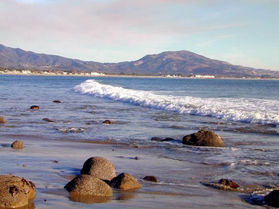
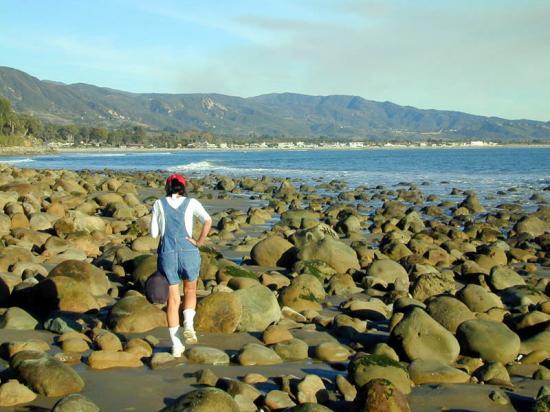
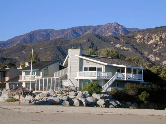
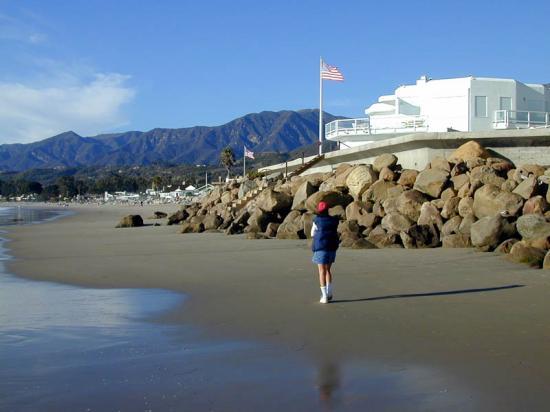
To the east a quarter mile of walking along the Loon bluffs leads to the point. It is rocky along the way and usually not passable at higher tides, but if you can get around the first point, this is a wonderful walk. There are plenty of huge boulders along the point to walk in and out of and several more small points which lead to a series of spectacular beach front homes.
 1% for the Planet is about coming together, and they believe that forging connections between businesses and nonprofits is a critical aspect of solving the global environmental challenges we face. The nonprofit sector fills a unique and critical role, and the 1% for the Planet model and mission are focused on unleashing the incredible power that is possible when businesses support and engage with these impactful nonprofits.
Is loon point beach accessible to public?
How do I get there?