
Tajiguas Beach
Posted by Mark Wilkinson on Nov 10, 2010 in Beach Walks, Gaviota | 0 comments


BEACH WALK INFORMATION
Distance-2 miles east to Refugio beach; 2.5 miles west to Arroyo Hondo Vista Point
Topo- Tajiguas
DIRECTIONS
Tajiguas Beach is 1.8 miles beyond (west) of Refugio Beach State Park. Look for a turn around on the freeway 2.1 miles past Refugio. Cross the freeway and turn right on the frontage road and go .6 miles west until it ends near a railroad crossing. A steep trail leads down to the beach. You can find easier beach access by turning back towards Refugio State Park, going .3 miles on the freeway to a large dirt parking area. The hike down to the beach is easy but the point may block your access to the west at higher tides.
A CAUTION
You'll need to be in the fast lane to use the turn around. Signal ahead to warn other drivers of your intentions.
THE WALK
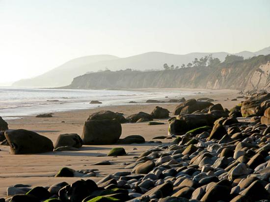
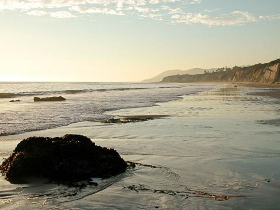
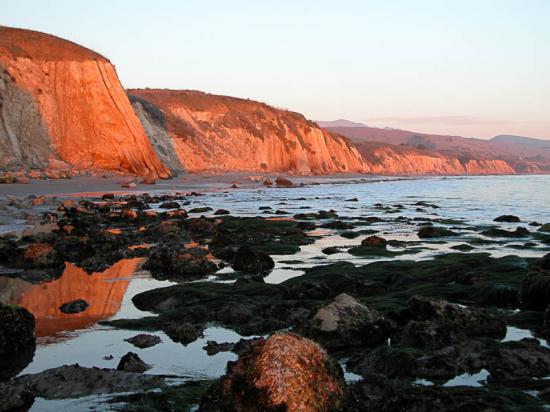
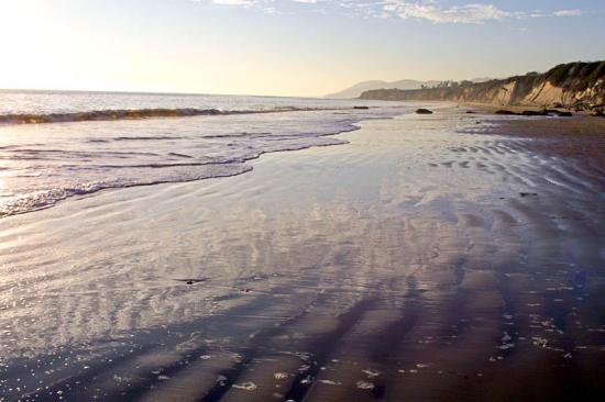
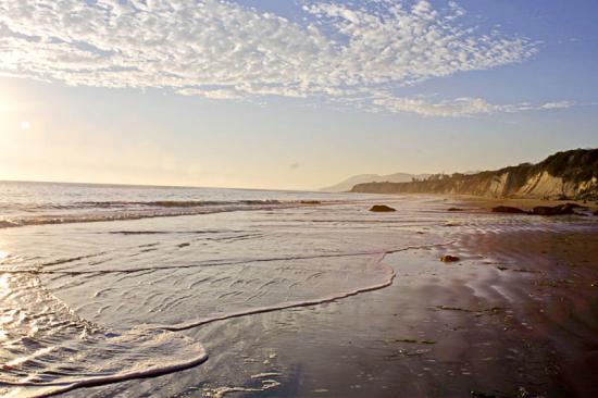
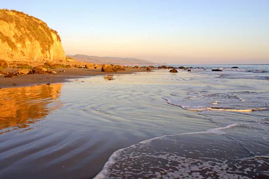
Once upon a time there was beach access from the small enclave near the mouth of Tajiguas Canyon but no longer. But the front road serves nearly as well. It is a bit of a hike down to the beach on the rough trail, but once you are there you'll find a long stretch of wide open sand and plenty of places to set out your gear for the afternoon. You may see a fisherman here and there surf casting.
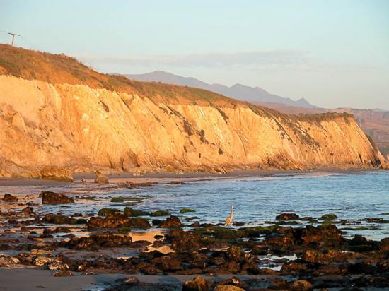
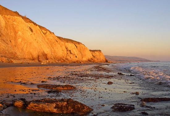
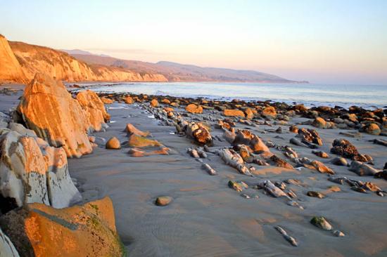
East of here the cliffs close in and the shore is rocky so the walking is to the west of you. It is a mile of very pleasant walking to the Tajiguas homes, some of them very expensive wood-and-glass beach cottages perched on the cliffs above, others reflecting a more modest style. This would be a very nice place to live.
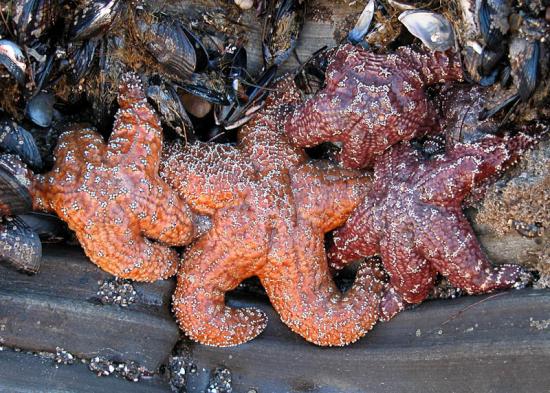
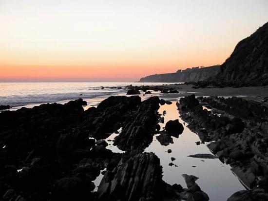
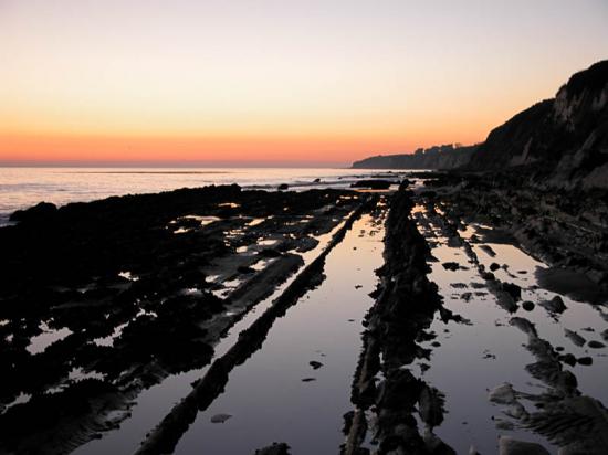
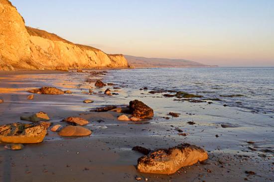
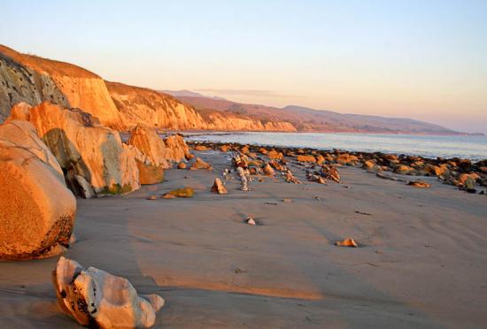
At lower tides there are plenty rocks to explore and lots of pebble-strewn sections where you can look for shells and pieces of well tumbled glass. I always find a good amount of it here. In all this is a section of beach on which it is easy to go slow and enjoy in a very unhurried fashion.
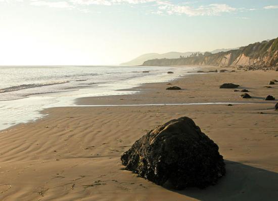
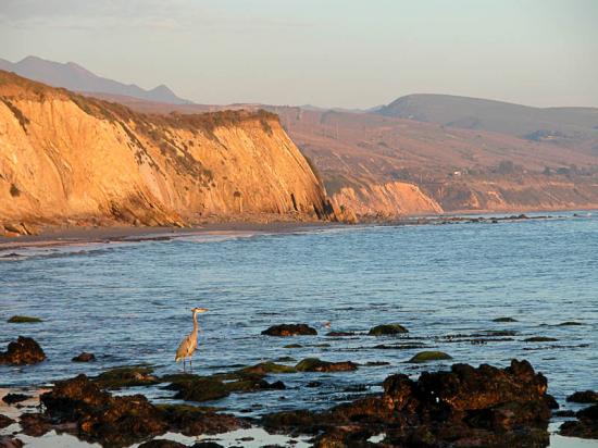
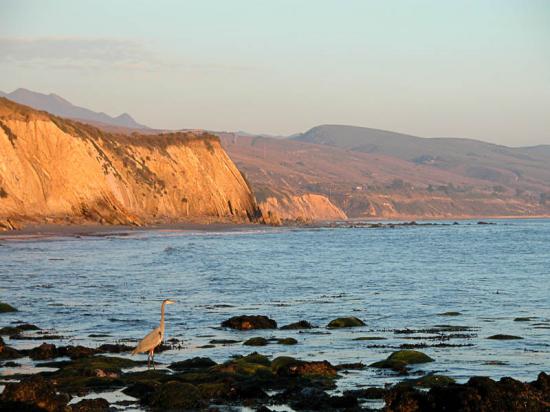
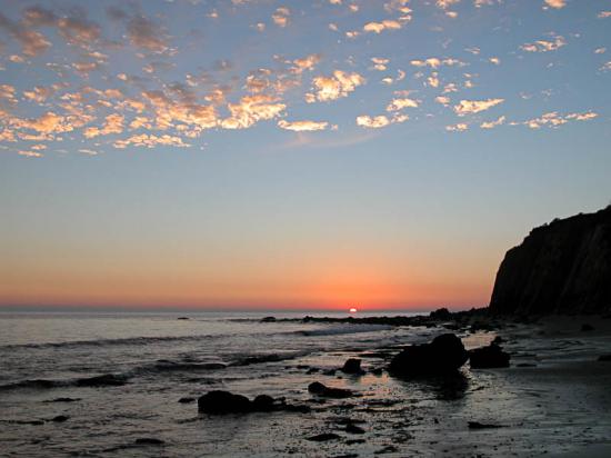
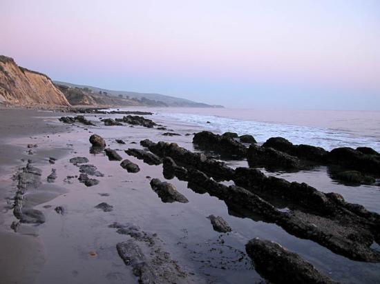
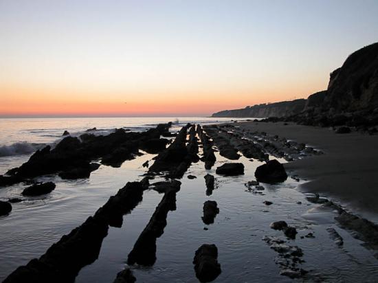
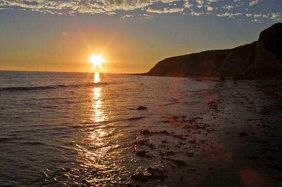
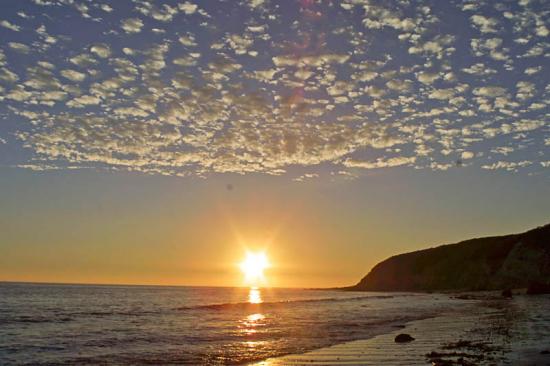
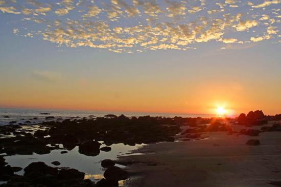
As you continue along you will notice a series of points and then sea walls closing in on you. This signals that you are approaching the Arroyo Hondo area and have come almost two and a half miles! You will find the walk back just as pleasant. I love doing this in the late afternoon when the sun is drifting across the horizon and the yellow glow of the sun creates a very mellow feeling.
 1% for the Planet is about coming together, and they believe that forging connections between businesses and nonprofits is a critical aspect of solving the global environmental challenges we face. The nonprofit sector fills a unique and critical role, and the 1% for the Planet model and mission are focused on unleashing the incredible power that is possible when businesses support and engage with these impactful nonprofits.