
Tangerine Falls
Posted by Mark Wilkinson on Nov 9, 2010 in Blog | 0 comments


TRAIL INFORMATION
Distance-0.25 miles to West Fork intersection; 1 mile to Middle Fork intersection; 1.3 to the base of the falls.
Elevation Gain-450 feet to Middle Fork intersection; 950 feet to base of the falls;
Difficulty-Moderately strenuous with plenty of scrambling along the way as this is not an "official" trail but the result of thousands of hikers making their way up the canyon to reach the falls.
Topo-Santa Barbara (not marked on the topo map)
HIGHLIGHTS
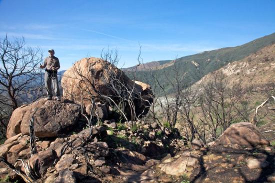
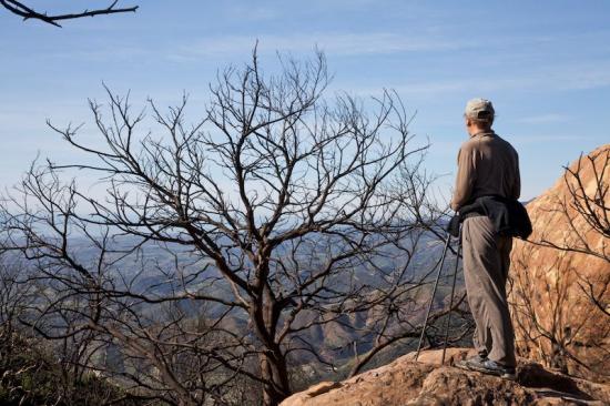
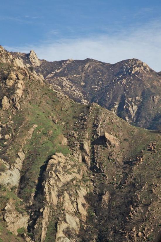
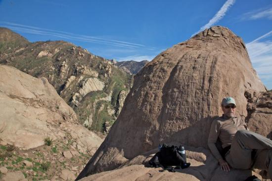
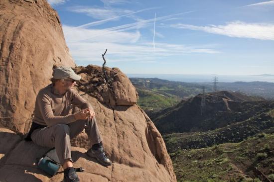
For those who love big waterfalls and scenic spots, when the water is running, Tangerine Falls is the best. You'll find this delicious waterfall at the end of a tantalizing scramble up a beautiful canyon.
DIRECTIONS
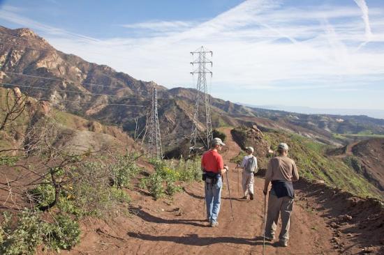
The trail is reached from Hot Springs Road in Montecito. From Santa Barbara, take the Hot Springs exit (you'll need to be in the fast lane) and follow it about .75 miles until you reach the Highway 192 intersection. Turn left on Highway 192 and follow this for one mile to Cold Spring Road. Turn right and continue up past Westmont College to Mountain Drive. Turn right and go a half mile east to the trailhead. Park near the point where the creek crosses the road.
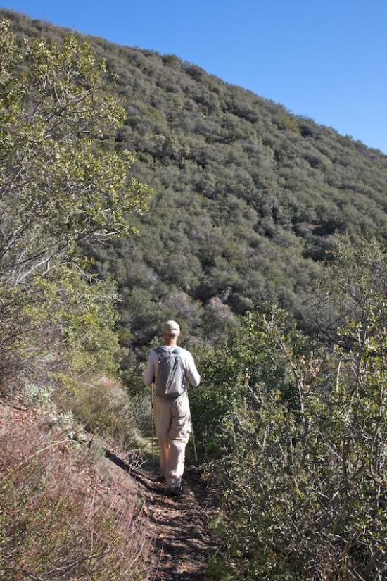
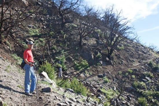
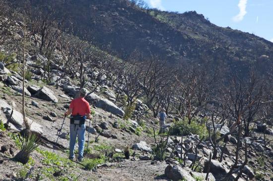
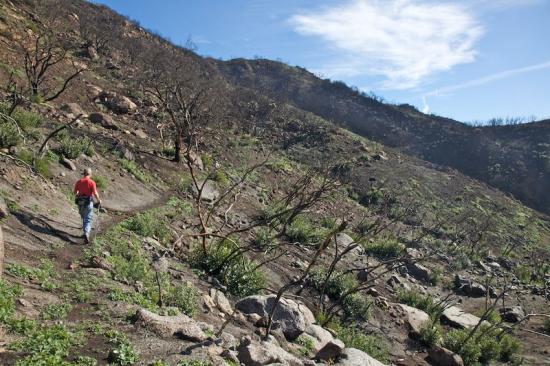
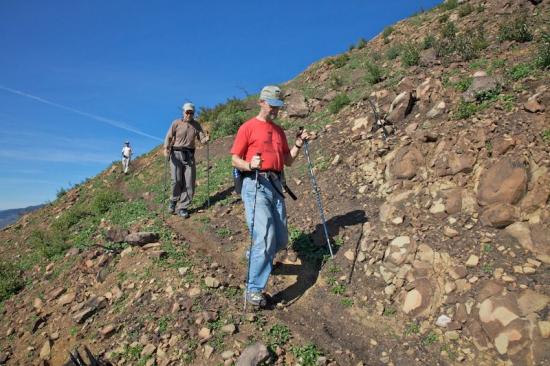
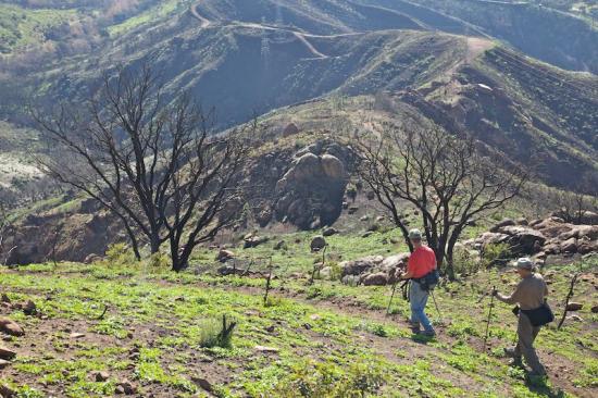
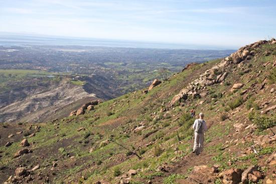
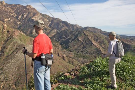
THE HIKE
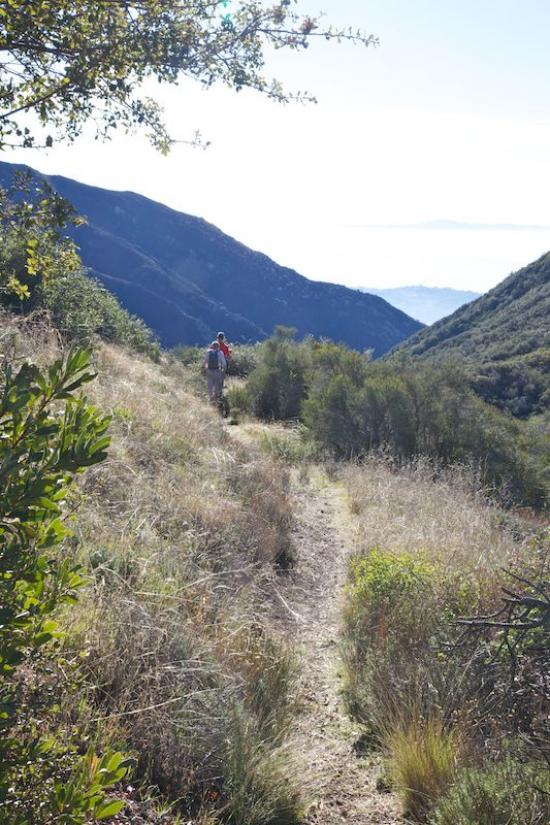
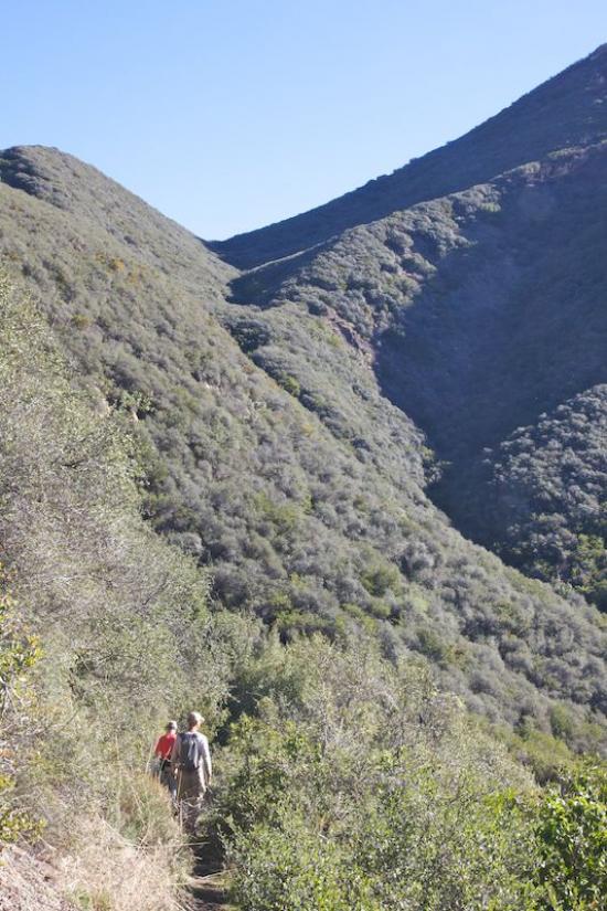
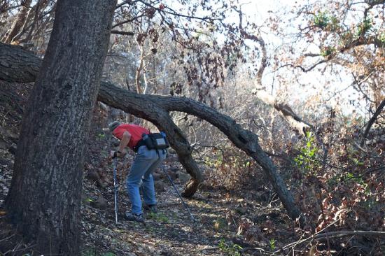
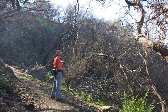
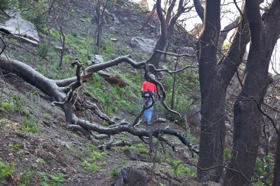
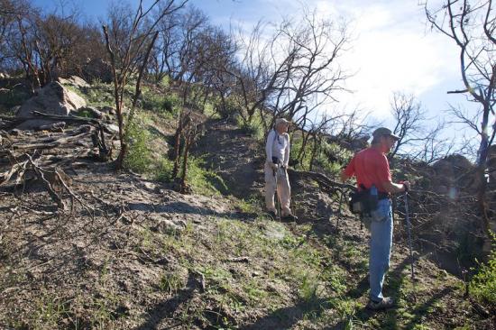
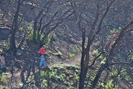
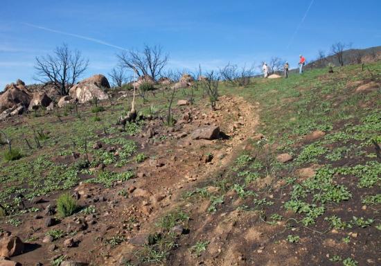
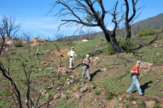
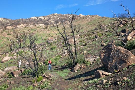
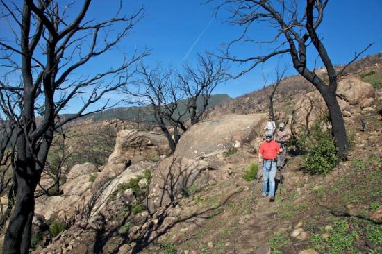
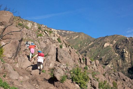
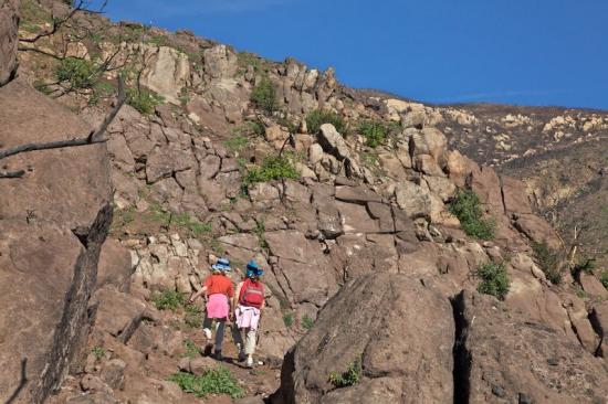
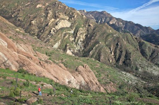
To reach the Middle Fork of Cold Springs you will need to hike up the West Fork trail for three-fourths of a mile to the turnoff to the falls. There is no sign marking the turnoff. The route up into the Middle Fork canyon isn't an official trail-even though the original Cold Springs route went this way. Drop down across a small canyon (containing the West Fork creek) then continue straight ahead up into the Middle Fork canyon.
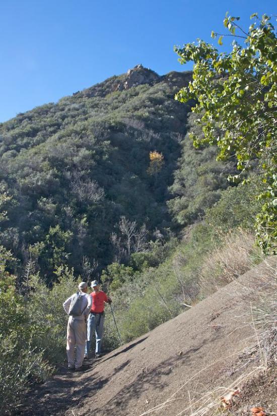
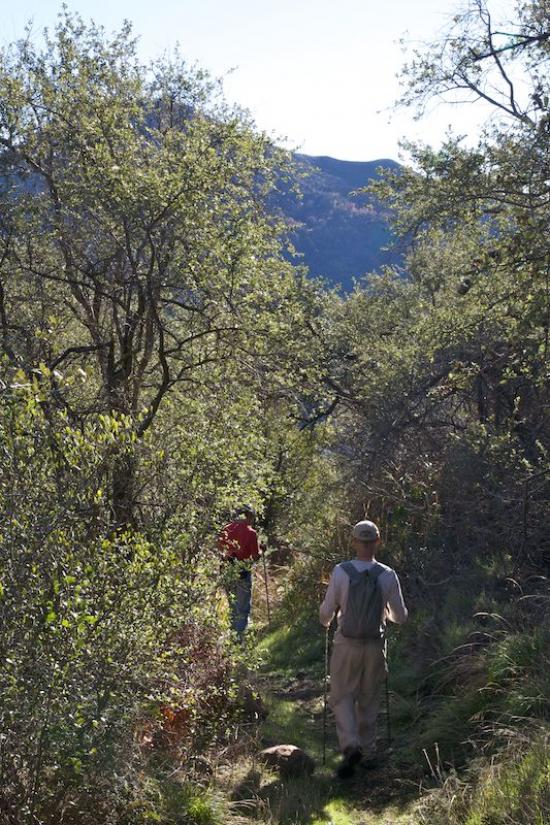
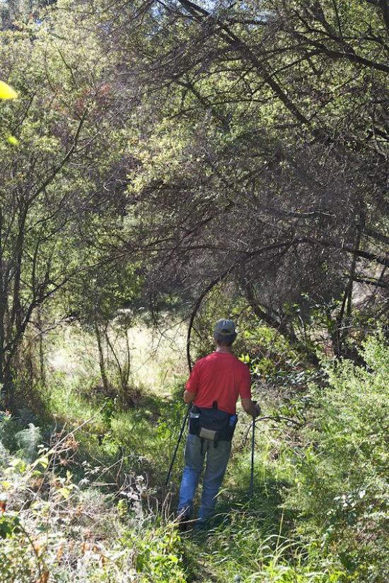
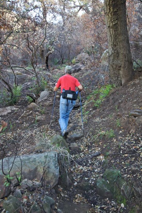
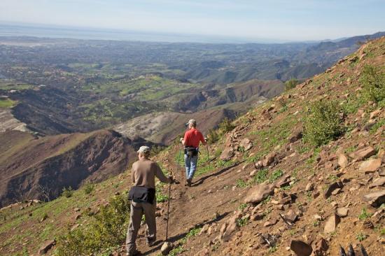
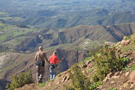
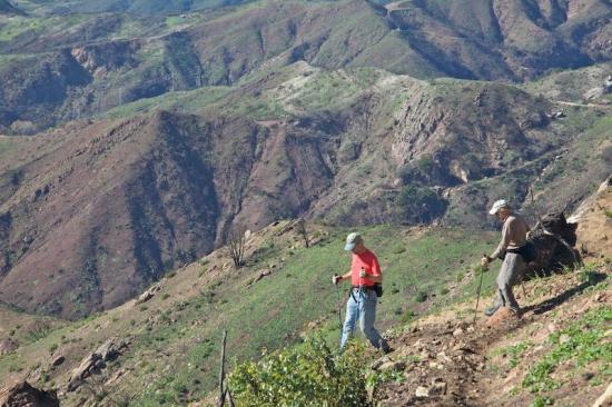
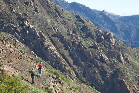
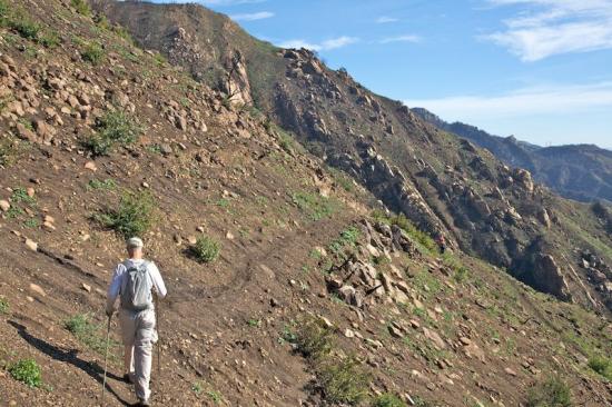
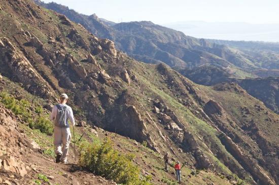
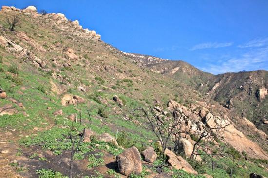
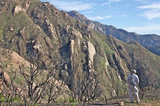
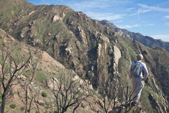
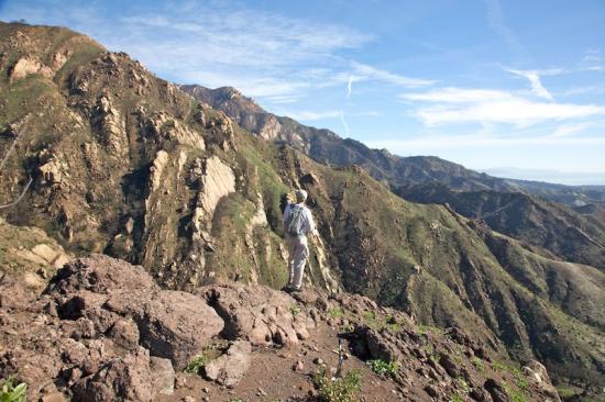
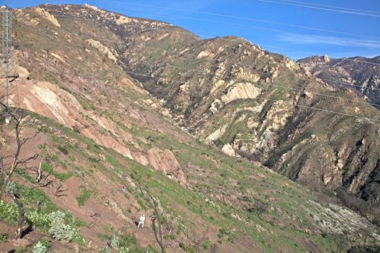
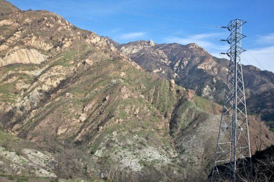
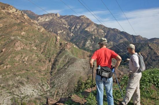
You will find yourself using your hands a lot, but because of the number of hikers who come up here, the trail is becoming more and more developed. To work your way up to the base of Tangerine Falls you will be scrambling most of the way. There are plenty of rocks to hop over and lots of creek crossings. The route is steep but the canyon is beautiful. Once you near the falls there is one last climb you will need to make to get to the actual waterfall. It can be slippery so take care.
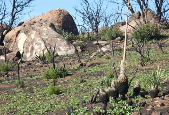
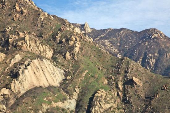
Though the hike up to the falls is hard work, once you are there you will be mesmerized by the cascades. Deposits from the mineralized water have created an apron of sorts and there are little pockets in them in which you will find maidenhair ferns and thick green mosses. As the water drops down from the upper heights and hits the apron it turns into a fine mist and it feels very good to stand under it and soak. The deposits have turned the rock a salmon-or what I think of as a tangerine color-so that is what I named the falls a number of years ago.
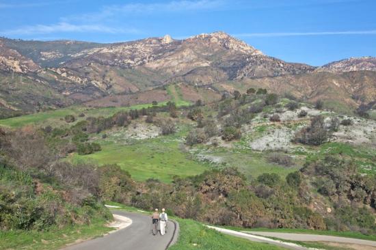
From early summer through the start of winter you won't find much water on the way up to the falls and the falls themselves won't be running but nevertheless it is a beautiful place to visit. The short scramble over to the base of the falls is a bit of a challenge but once you're there it is a perfect place to kick back and relax, share a picnic with a friend, and enjoy the views.
 1% for the Planet is about coming together, and they believe that forging connections between businesses and nonprofits is a critical aspect of solving the global environmental challenges we face. The nonprofit sector fills a unique and critical role, and the 1% for the Planet model and mission are focused on unleashing the incredible power that is possible when businesses support and engage with these impactful nonprofits.