
Tunnel Trail
Posted by Mark Wilkinson on Jan 1, 2011 in Day Hikes, Front Country | 0 comments
TRAIL INFORMATION
Distance—4 miles to the crest; an additional mile to La Cumbre Peak
Elevation Gain—2350’ to the intersection with East Camino Cielo (La Cumbre Peak is an additional 600’ gain)
Difficulty—Easy to Seven Falls; strenuous to crest
Topo—Santa Barbara
HIGHLIGHTS
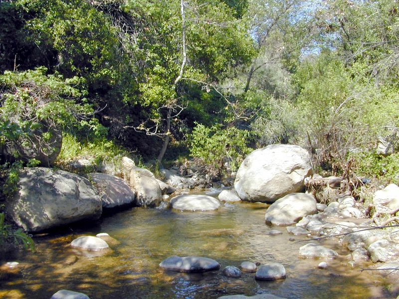
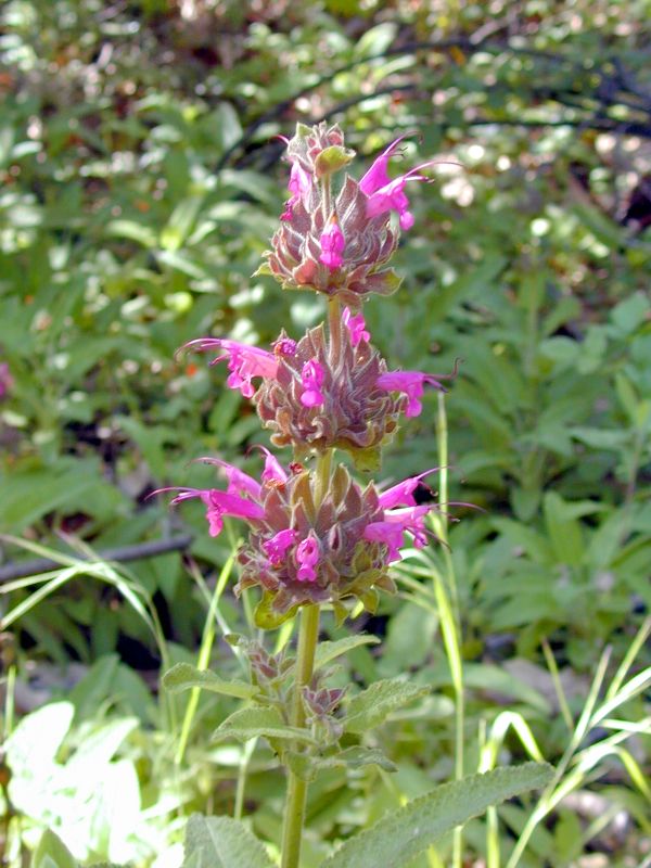
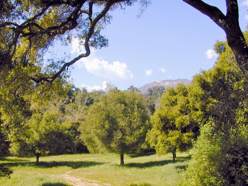
Mission Canyon provides a variety of different type of outdoor experiences ranging from a sunset hike to Inspiration Point, a refreshing dip in the pools at Seven Falls, a picnic on the lip of Mission Falls or the awe-inspiring views from the top of La Cumbre Peak. You can hike from Mission Canyon to Stevens Park in San Roque Canyon or over and into Rattlesnake Canyon. You can even drop down to Fern Falls and work your way down Mission Creek to the Botanic Gardens.
DIRECTIONS
From the Santa Barbara Mission drive up Mission Canyon Road to Foothill and turn right, then turn left several hundred yards later (by the fire station). Continue up Mission Canyon to the Tunnel Road turnoff, a half mile before the Botanic Garden. Continue several miles to the end. Park properly. The police frequently ticket illegally parked cars. The trail begins about three-quarters mile beyond the locked gate.
THE HIKE
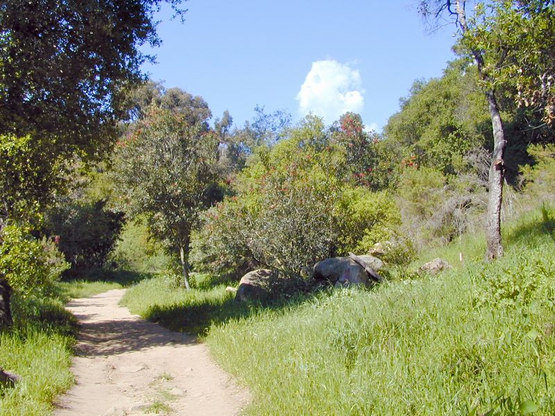
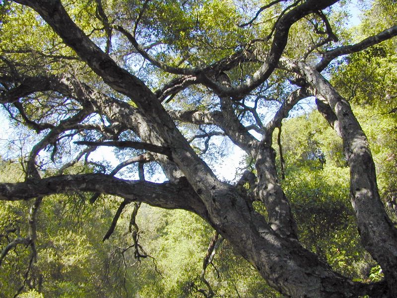
The trailhead begins three-fourths mile beyond the end of Tunnel Road. Walk up the paved road, which continues steadily uphill. A hundred yards before Mission Tunnel the road turns sharply to the left and then curves past the West Fork of Mission Creek. If you look carefully beneath and to the right of the bridge you can see the tunnel.
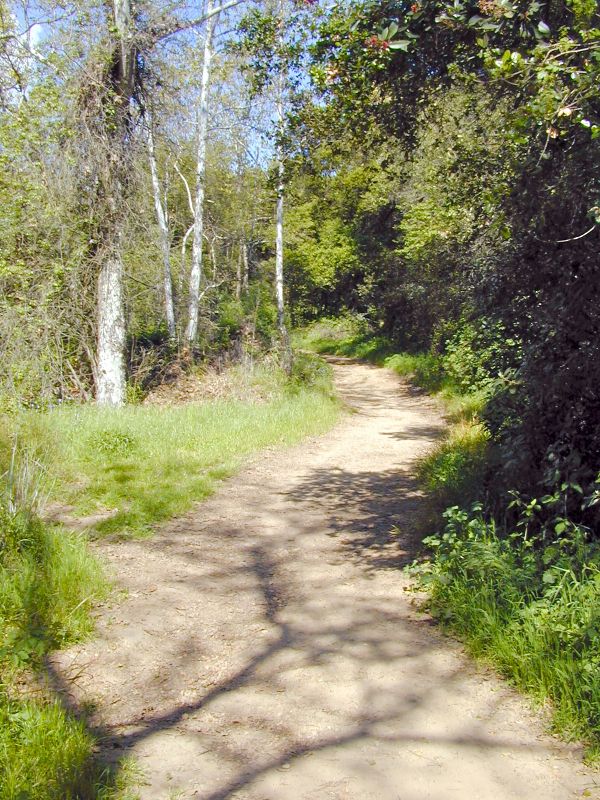
The Tunnel trailhead begins a bit past Mission Tunnel. Fifty yards after the paved road ends (marked by a California Riding and Hiking trail sign) Tunnel Trail begins. To hike up it turn right. You will find the next half hour or so of hiking a challenge to the legs and your lungs.
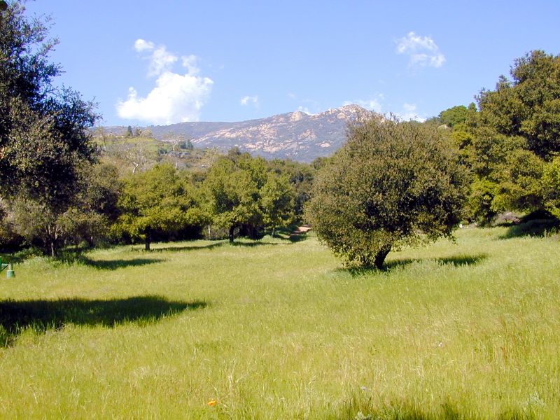
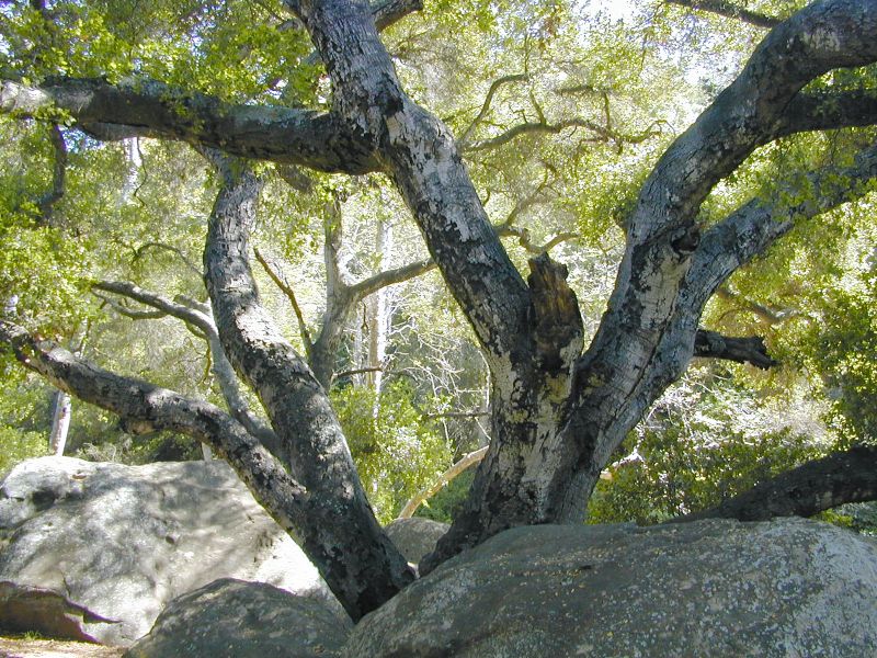
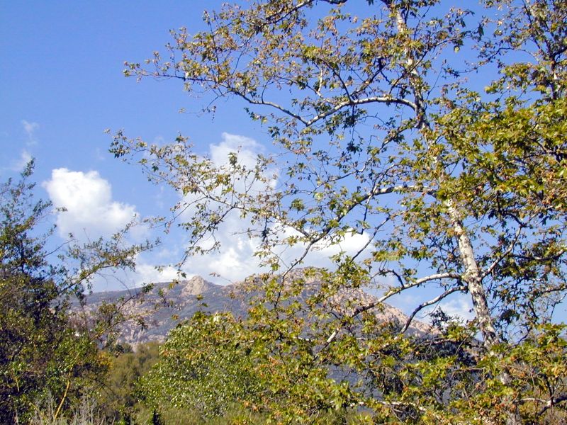
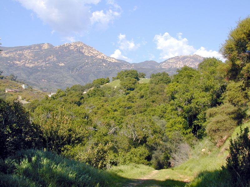
Tunnel Trail proper passes through the four geologic formations of the Eocene epoch on its three-and-a-half mile length. At the trailhead Coldwater Sandstone predominates and the steeply-tilted slabs of this stone are what make this section such an effort. The trail switches back and forth through rocky outcroppings of this rock, finally heading straight up the ridgeline separating the two main forks of Mission Creek. Views across the west fork canyon to Cathedral and La Cumbre peaks help soften the effort.
In three-quarters mile the path turns right, heads up a rocky section fortified with railroad ties and around a large knoll that marks the end of this formation. A large peace symbol painted on the face of the cliff in the 1960s will provide notice you are about almost at the end of the tough hiking. I have often wondered who painted this 30' high sign and just how they were able to get there to do it. Perhaps one of you might know.
There is one last steep climb then suddenly you round a corner and Mission Falls comes into view, a half-mile across the canyon. Rarely does water flow over its wide lip but it is the perfect place for a lunch stop. From here it is 20 minutes of very easy hiking around the upper end of the canyon to the falls.
If you look closely on the right you will spy a small, almost unnoticeable path leading up to the right. This off-trail route will take you directly up and over a thin ridgeline on which the peace symbol is painted. It is a scramble getting up and over the ridge, but the views are spectacular, there are numerous perches upon which to spend a bit of time, and most importantly it will take you across and down to the power lines, allowing you to make a loop out of your hike up Tunnel Trail. I often head up to the falls for lunch, drop back down to this point and then make my way across the ridge and back down via the power line road.
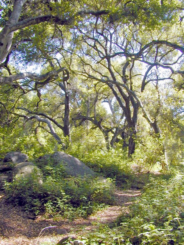
Continuing up Tunnel Trail on your way to the falls you will encounter a large saddle where a second geological formation is encountered—the easily weathered Cozy Dell Shale. Here you will find a connector trail leading down into the upper end of Rattlesnake Canyon.
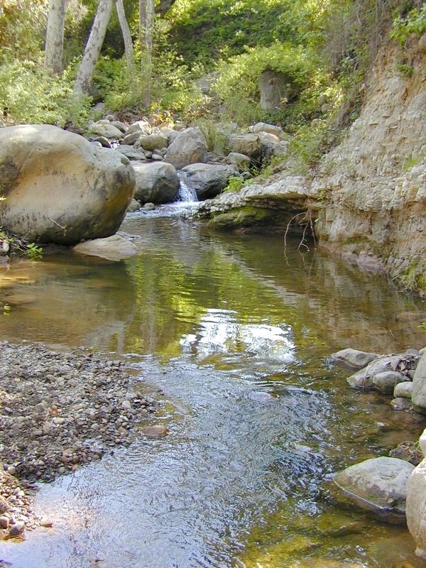
A quarter mile beyond the connector trail large walls of tawny sandstone begin to appear, marking the end of the shale and the beginning of a third layer of rock, the rugged and highly scenic crags of Matilija Sandstone. A half mile farther along, look for the short path leading over to the falls. There you’ll find a sandstone bench marking the upper edge of the 200-foot-high Mission Falls. In springtime, with the creek flowing at its maximum, the spot is an ideal sunbathing and picnicking area. The view is breathtaking. It is also a wonderful place to view the sunset, but if you stay late be sure to bring a flashlight along for the trip back to the car.
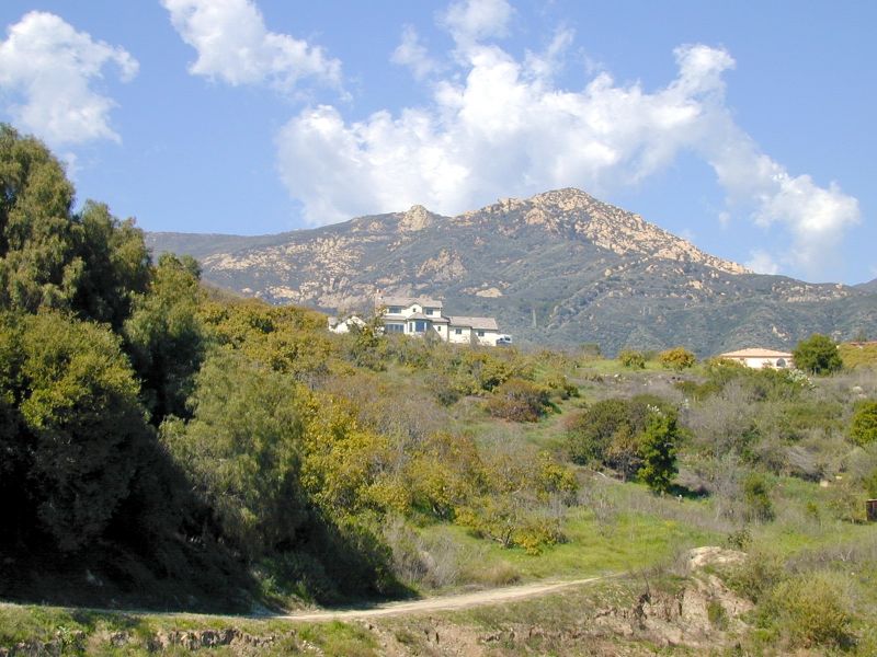
After crossing the creek, the trail wanders for a half mile through the sandstone. Then, as the canyon narrows, you enter the fourth layer, the Juncal Formation, a shale which weathers readily to form clay hills. After this, the trail then meanders back and forth around small rounded knolls formed by the easily weathered rock to a saddle at East Camino Cielo known as Angostura Pass. La Cumbre Peak is an additional three-quarters mile (and 600’ of elevation gain) to the west on the paved road.
Hard core hikers will make it all the way up to the top of La Cumbre Peak. Those who are just a little bit crazy make the return trip via Cathedral Peak. The route down is off-trail and requires quite a bit of effort along the way but at day's end, savoring the magnificence of what you have accomplished, you will be well pleased with yourself. A caution: this is hard core. Make sure you allow yourself plenty of time to make it all the way down. The Cathedral ridgeline is not where you want to be after dark.
 1% for the Planet is about coming together, and they believe that forging connections between businesses and nonprofits is a critical aspect of solving the global environmental challenges we face. The nonprofit sector fills a unique and critical role, and the 1% for the Planet model and mission are focused on unleashing the incredible power that is possible when businesses support and engage with these impactful nonprofits.